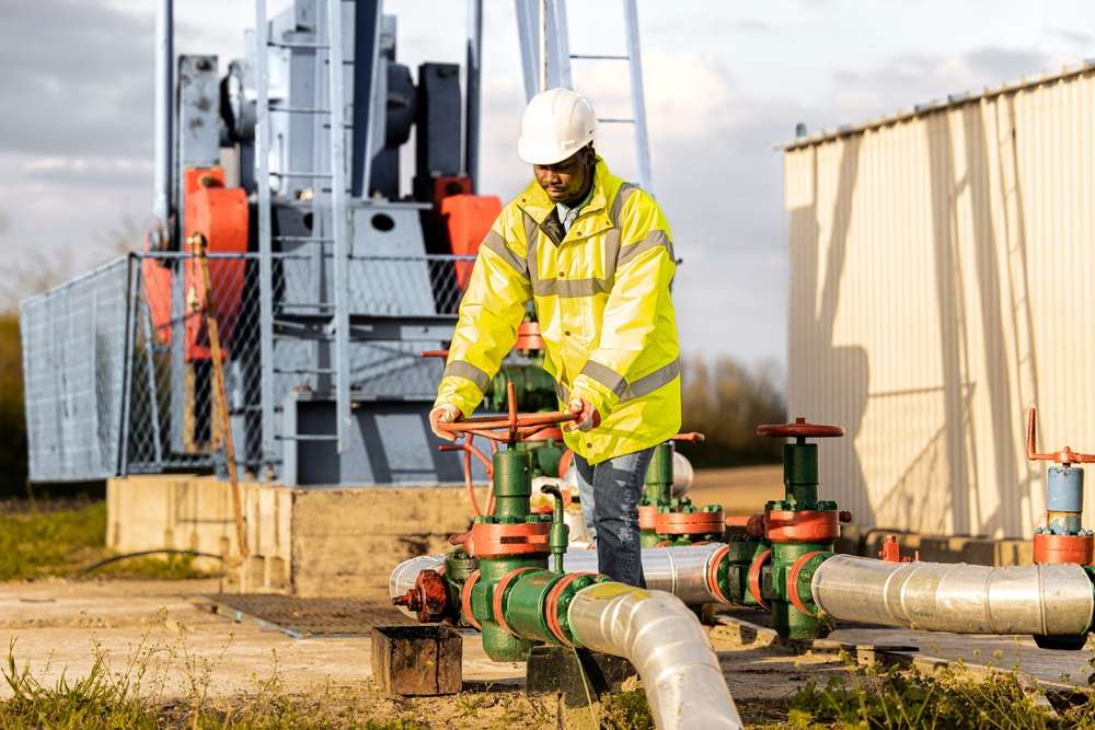
Assessing Pipeline Integrity with Remote Sensing Tools
Remote sensing techniques provide noninvasive options for evaluating pipeline integrity across utilities and infrastructure. This short overview highlights acoustic, thermal, infrared, ultrasonic, and subsurface sensing approaches used in monitoring, inspection, mapping, and diagnostics.

Pipelines carry water, gas, and other fluids across urban and rural environments, and assessing their integrity without disruptive excavation is a growing priority. Remote sensing tools combine various sensors and analytics to detect anomalies such as pressure loss, corrosion, or moisture intrusion. By integrating telemetry, mapping, and noninvasive inspection methods, operators can prioritize maintenance and plan targeted repairs while minimizing service interruptions. This article explains key remote sensing modalities and how they contribute to practical pipeline monitoring and diagnostics.
How do acoustic and ultrasonic sensors work?
Acoustic and ultrasonic sensors detect sound or high-frequency vibrations generated by fluid movement or by structural changes in a pipe. Acoustic monitoring systems can pick up the hissing or turbulent noise associated with small leaks, while ultrasonic inspection devices measure material thickness and detect internal defects by analyzing reflected sound waves. These sensors often operate continuously or in scheduled inspection campaigns, feeding data into analytics platforms that flag deviations from baseline noise or signal profiles. Acoustic and ultrasonic tools are well suited for both buried and exposed pipeline sections when access is available.
What role does thermal and infrared monitoring play?
Thermal and infrared imaging reveal temperature differences at the pipe surface that can indicate leaks, insulation failures, or subsurface flow. Infrared cameras mounted on drones, vehicles, or handheld platforms map temperature anomalies along a pipeline route, allowing technicians to spot wet zones, gas seepage, or heat loss. Thermal monitoring is particularly useful where a leaking fluid has a different temperature from surrounding soil or where active heating systems are present. Combined with mapping and telemetry, infrared data help prioritize ground inspections and reduce the area needing physical excavation.
Can moisture and subsurface mapping locate leaks?
Moisture sensors and subsurface mapping techniques identify wet soils, changes in dielectric properties, or shifts in ground composition caused by leaking fluids. Ground-penetrating radar, electromagnetic surveys, and soil moisture probes produce complementary information on subsurface conditions. Moisture mapping can detect slow, persistent leaks that do not create pronounced acoustic signatures, while subsurface imaging helps confirm the extent and depth of an anomaly. When integrated with GPS and mapping tools, these datasets support targeted excavation and reduce unnecessary disturbance to surrounding infrastructure.
How do pressure telemetry and analytics help?
Pressure telemetry systems continuously monitor internal pipeline pressure at multiple nodes, sending time-stamped measurements via secure communications. Sudden drops, gradual declines, or abnormal pressure fluctuations can suggest leaks, blockages, or valve malfunctions. Advanced analytics and anomaly detection algorithms correlate pressure data with flow rates, ambient conditions, and known usage patterns to reduce false positives. Combining pressure telemetry with other sensor streams—acoustic, thermal, or moisture—improves diagnostic confidence and guides response actions while supporting long-term maintenance planning.
How are corrosion diagnostics and inspection performed?
Corrosion is a principal threat to pipeline integrity, and diagnostics use a mix of in-line inspection (where applicable), ultrasonic thickness measurements, and surface or near-surface sensing to assess metal loss. Noninvasive corrosion monitoring techniques include electromagnetic sensors, corrosion coupons with remote readout, and periodic ultrasonic surveys. When corrosion indicators are detected, telemetry and mapping systems log the location and severity enabling maintenance teams to schedule repairs, apply protective coatings, or replace affected segments. Combining historical inspection data with analytics helps forecast deterioration trends and prioritize interventions.
Noninvasive approaches for maintenance and plumbing
Noninvasive inspection methods minimize downtime and property disruption by avoiding broad excavation. Portable and drone-mounted sensors, remote telemetry, and targeted subsurface probes allow maintenance teams to verify pipeline conditions in residential, commercial, and industrial plumbing networks. These approaches support preventive maintenance regimes by enabling scheduled monitoring and targeted repairs. Integrating sensor outputs into a centralized asset management system improves decision-making about replacement cycles, spare parts inventory, and crew deployment, while reducing unnecessary excavation and service interruption.
Conclusion Remote sensing tools offer a layered strategy for assessing pipeline integrity: acoustic and ultrasonic sensing for structural defects and leaks, thermal and infrared imaging for surface anomalies, moisture and subsurface mapping for hidden flow paths, and pressure telemetry plus analytics for operational monitoring. When combined, these methods provide a data-driven basis for diagnostics, maintenance planning, and targeted intervention that can extend asset life and reduce downtime without excessive disruption.


