How Real-Time Location Tracking Is Reshaping Field Operations
Real-time location tracking is changing how field teams plan, execute, and verify work. By combining continuous positioning data, mapping, and automated alerts, organizations gain clearer operational visibility and faster response times. This article outlines practical impacts and implementation considerations for field operations worldwide.

Real-time location tracking is transforming field operations by turning static schedules into dynamic workflows. Continuous positioning and live telemetry provide supervisors with up-to-the-minute visibility into where teams and assets are, while mapping and geofencing create context for decisions such as dispatch, routing and security. These capabilities enable more predictable service windows, improved resource allocation, and clearer incident response paths for teams working across urban and remote environments.
How location and positioning improve visibility
Accurate location and positioning allow managers to see where personnel and equipment are throughout a shift. Instead of relying on periodic check-ins, systems using satellite-based positioning and network augmentation supply continuous coordinates that integrate with mapping platforms. This visibility reduces idle time, helps verify completed tasks, and supports compliance reporting by timestamping location events for audits and performance reviews.
What tracking and telemetry deliver to operations
Tracking combined with telemetry streams—such as speed, engine status, or environmental sensors—creates a richer operational picture. Telemetry data tied to tracking coordinates helps teams detect issues early, for example identifying a vehicle that is idling too long or equipment operating outside normal parameters. When telemetry and tracking are integrated into dashboards, dispatchers can prioritize interventions and plan proactive maintenance based on performance trends.
How navigation, routing and mapping reduce travel time
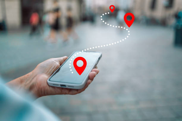
Efficient navigation and adaptive routing are central to lowering travel time and fuel costs for field crews. Real-time routing leverages current traffic, road conditions, and live location feeds to reassign visits or optimize stop sequences. Mapping layers that include customer locations, worksite constraints, and asset locations support planners in creating routes that balance urgency, technician skill sets, and proximity, improving overall schedule reliability.
Why satellite and geofencing matter for remote work
Satellite connectivity extends tracking beyond cellular coverage, which is critical for operations in remote or rural areas. Geofencing uses virtual boundaries to trigger alerts when assets enter or leave a zone—a useful feature for security, automated check-ins, and verifying jobsite arrivals. Together, satellite positioning and geofencing help maintain continuity of oversight where traditional networks are unreliable.
Managing fleet and assets with integrated security
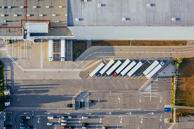
Combining fleet tracking and asset management enables organizations to monitor vehicle locations, cargo status, and high-value tool inventory from a single platform. Layering security features—such as tamper alerts, geofence breaches, and access logs—adds protection for mobile resources. When hardware and software are interoperable, teams can lock down assets, reroute vehicles away from risky areas, or flag unusual telemetry patterns that indicate theft or misuse.
Additional integration with identity and access systems ensures that data flows respect privacy and access controls. Role-based views let field leads and operations managers see only the information needed to perform their duties while maintaining central oversight for compliance and incident investigation.
Mapping, routing analytics and future positioning trends
Mapping and analytics turn accumulated positioning and routing data into actionable insights. Heat maps reveal demand concentrations, dwell-time analysis exposes process bottlenecks, and route-performance comparisons inform training or schedule adjustments. Emerging positioning technologies and hybrid GNSS (Global Navigation Satellite Systems) receivers are improving accuracy and reducing time-to-fix, which benefits precision tasks such as deliveries, inspections, or geotagged documentation.
As systems mature, machine learning models can predict likely delays or suggest route changes before a human operator notices, further smoothing field operations. However, implementing such capabilities requires attention to data quality, privacy expectations, and robust telemetry collection strategies.
Conclusion
Real-time location tracking reshapes field operations by converting scattered status points into continuous operational intelligence. Through combined use of positioning, telemetry, navigation, routing, mapping, geofencing, and security controls, organizations can improve responsiveness, protect assets, and make data-driven decisions that refine workflows over time. Thoughtful integration and governance determine how effectively these technologies translate into consistent, measurable improvements in field performance.


