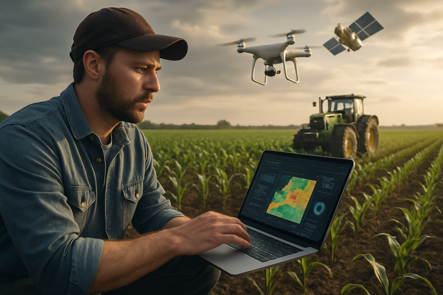
Remote diagnostic workflows for rapid field investigation
Remote diagnostic workflows combine on-site sensing and remote data feeds to accelerate field investigations of leaks and anomalies. By blending acoustic detection, thermal imaging, satellite and drone mapping, and automated analytics, teams can prioritize inspections, reduce downtime, and focus resources where potential faults are most likely.

Remote diagnostic workflows bring structured data, field-ready tools, and decision logic together to speed investigation cycles. Modern approaches pair continuous monitoring with targeted remote sensing so field crews receive prioritized alerts rather than raw alarms. That reduces time-to-investigate and increases the likelihood of finding the root cause on first visit. Workflows emphasize data triage, clear handoffs, and context-rich summaries that combine acoustic traces, thermal signatures, and recent mapping imagery to guide technicians efficiently.
How do acoustic methods support field diagnostics?
Acoustic techniques capture sound patterns associated with leaks or flow irregularities. Portable acoustic sensors and fixed listening posts detect characteristic frequencies and amplitudes produced by escaping fluids or gas moving through pipes and valves. In a workflow, acoustic detections trigger location triangulation and score events for field verification. Acoustic data often pairs well with flow trends and analytics to separate transient noise from persistent leaks, enabling teams to plan targeted visits instead of broad visual sweeps.
How are thermal and infrared tools used on site?
Thermal and infrared imaging reveal temperature differences linked to leaks, seepage, or insulation failures. Handheld thermal cameras, borescopes, and vehicle-mounted imagers allow technicians to scan equipment, joints, and trenches quickly. In remote diagnostics, thermal imagery is time-stamped and geotagged, then compared to baseline maps to highlight anomalies. These images help confirm acoustic alerts or flow anomalies and provide visual evidence that refines the scope of field interventions.
What role do sensors play in rapid investigations?
A distributed sensor layer provides continuous context: pressure transducers, vibration monitors, humidity sensors, and smart meters feed telemetry into diagnostics platforms. Edge processing on sensors can flag deviations and perform preliminary filtering so only meaningful events are escalated. When combined with remote sensing, this sensor network informs prioritization—indicating whether a suspected problem is localized, intermittent, or escalating—so field teams can bring appropriate tools and safety equipment on the first trip.
How does flow metering inform leak detection?
Flow and metering systems quantify discrepancies between expected and actual throughput. Sudden drops or unexplained gains across meter stations are often early signs of leakage or line breaches. Integrating metering data into remote workflows allows automated cross-checks: if metering shows imbalance and acoustic sensors report activity, the event gains a higher confidence score. Metering records also help estimate loss magnitude, which influences response urgency and resource allocation for field investigators.
How do satellite, drone, and radar mapping assist?
Satellite imagery, drone flights, and radar mapping extend visibility across large or hard-to-reach areas. High-resolution optical or multispectral satellite data and drone-based thermal surveys can detect vegetation stress, soil moisture changes, or heat plumes indicative of subsurface leaks. Synthetic aperture radar and LiDAR mapping add terrain context and detect subtle ground movement. Integrating these maps into the workflow produces geospatial layers that guide crews to precise coordinates and reduce time spent searching on foot.
How does analytics integrate diagnostics and reporting?
Analytics consolidate telemetry, sensor logs, acoustic traces, thermal images, and mapping layers to produce actionable diagnostics. Machine learning and rule-based engines score events by likelihood and potential impact, generate inspection checklists, and suggest probable failure modes. Dashboards present ranked work items with supporting evidence so investigators can decide whether a remote fix is possible or an on-site intervention is required. Consistent reporting formats also speed handoffs between monitoring centers and field teams.
Conclusion Remote diagnostic workflows combine complementary detection technologies and structured analytics to make field investigations faster and more precise. By integrating acoustic, thermal, sensor, metering, satellite, drone, and mapping data into a unified diagnostic pipeline, organizations can reduce search times, improve first-visit resolution rates, and focus maintenance efforts where they matter most. Consistent processes and clear data summaries are central to turning diverse inputs into timely field actions.


