Risk-scoring framework to prioritize excavations from remote survey outputs
This article explains a practical risk-scoring framework that converts remote survey outputs into prioritized excavation plans. It covers sensor inputs, analytics approaches, field verification, and ongoing monitoring to support targeted interventions and safer subsurface work.

Accurate prioritization of excavations depends on turning diverse remote survey outputs into a single risk score that field teams can act on. A risk-scoring framework aggregates inputs from acoustics, thermography, fiberoptic sensing, drone imagery, and other telemetry streams, applies calibration and analytics to identify anomalies, and ranks locations for verification and excavation. The goal is to reduce unnecessary digs while ensuring sites with higher pressure or clear signs of subsurface disturbance receive timely attention.
How do acoustics and sensors feed risk scores?
Acoustic sensors and distributed sensor networks detect transient signals consistent with leaks or soil disturbance. Continuous monitoring combined with short-run sensor sweeps provides waveform context that can be parsed by analytics to flag anomalies. Calibration is essential: background noise profiles, seasonal variations, and installation-specific attenuation must be accounted for so that acoustic hits translate into meaningful probability values rather than false positives. Sensor metadata (location accuracy, uptime, sensitivity) is factored into the score so higher-confidence readings weigh more in prioritization.
What role does thermography and drone mapping play?
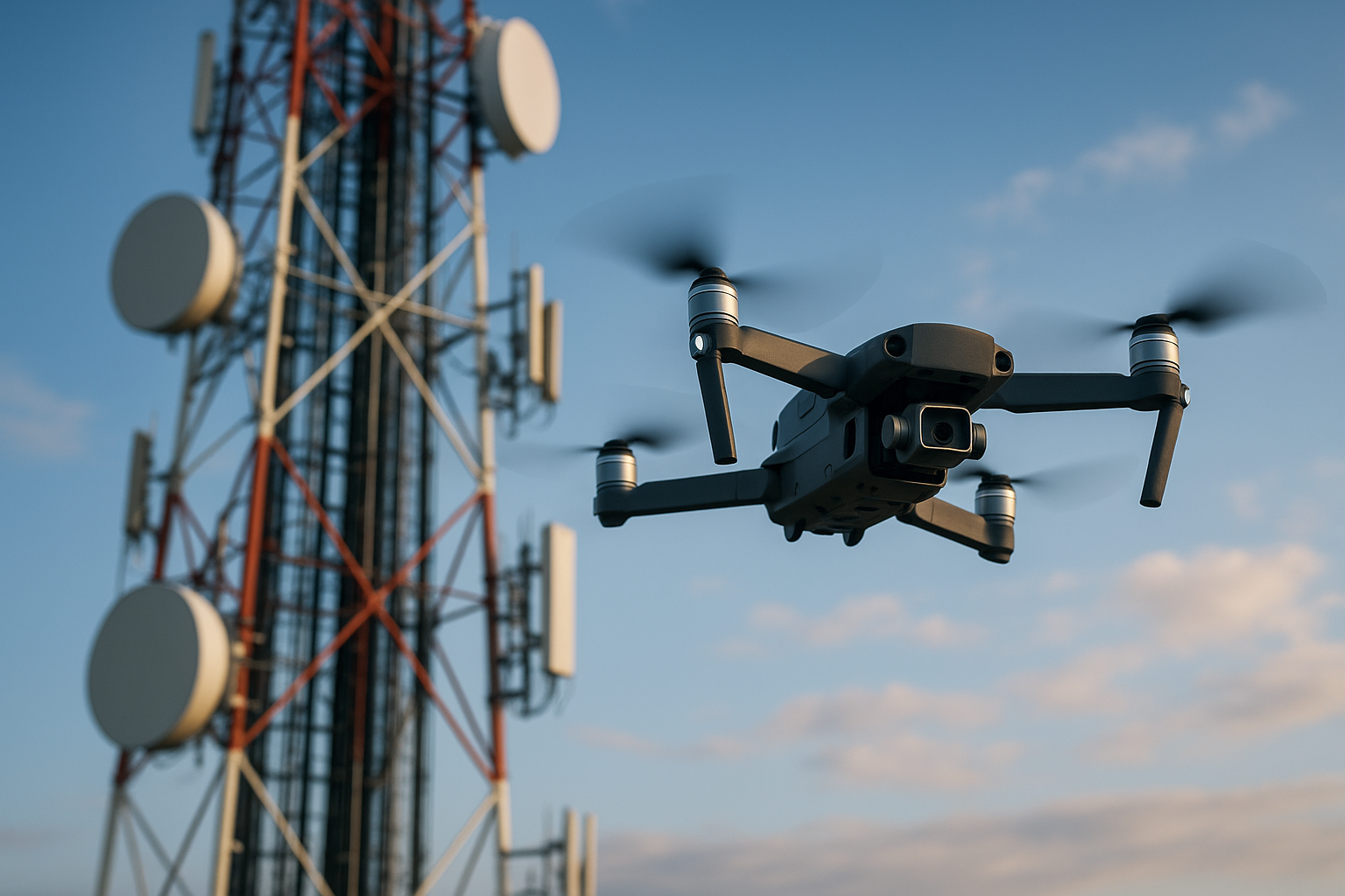
Thermography and drone-collected imagery add spatial context that complements point sensors. Thermal cameras can reveal ground temperature differentials caused by subsurface fluid flow, while multispectral drone imagery supports vegetation stress analysis. Combining georeferenced thermal maps with high-resolution orthophotos improves subsurface mapping and helps identify linear patterns or isolated hotspots. These remote layers are particularly useful where surface symptoms precede detectable pressure or acoustic anomalies, enabling earlier inclusion in the risk ranking.
Can fiberoptic and telemetry provide continuous subsurface insight?
Fiberoptic distributed temperature and acoustic sensing deliver continuous, linear coverage that is valuable for pipelines and conduits. Telemetry systems transmit these data streams in near real time, allowing analytics engines to detect deviations from expected profiles. When integrated into the framework, fiberoptic trends help distinguish slow-developing issues from sudden events, and telemetry metadata (latency, sampling rate) informs confidence scoring. Together, they complement discrete sensors and improve the spatial resolution of subsurface monitoring.
How does analytics, calibration, and anomaly detection work?
Analytics converts heterogeneous inputs into normalized indicators: probability of anomaly, magnitude, persistence, and spatial coherence. Calibration uses historical true-positive and false-positive examples to tune thresholds and to weight sources such as acoustics versus thermography. Machine learning or statistical models can detect complex patterns, but explainability is important—teams should understand why a site scored high. Anomalies that show cross-modal agreement (for example, acoustic event plus thermal anomaly plus vegetation stress) receive higher risk weights than single-modality outliers.
How are prioritization and verification organized in practice?
Prioritization ranks sites by composite risk score, and the framework should include operational fields: recommended verification method, required safety precautions for pressure scenarios, and expected resource needs. Verification involves targeted field checks: handheld acoustic listening, pressure testing, localized thermography, or subsurface scanning. Verification outcomes feed back into the model to refine calibration, reducing future uncertainty. Clear logging of verification steps and results supports traceability and continuous improvement of the prioritization process.
What monitoring, mapping, and pressure considerations support excavation decisions?
Subsurface mapping integrates survey outputs with asset maps, soil data, and known utilities to contextualize risk. Monitoring plans specify cadence—continuous for critical corridors via telemetry, periodic drone surveys for large areas, and event-driven inspections after flagged anomalies. Pressure data are critical where fluid or gas is involved: sustained pressure deviations near an anomaly increase urgency and influence excavation safety protocols. Accurate mapping, routine calibration of sensors, and a documented verification workflow minimize excavation errors and focus resources where they reduce the greatest risk.
In summary, a robust risk-scoring framework synthesizes acoustics, thermography, drone imagery, fiberoptic and telemetry inputs, and calibrated analytics to produce actionable excavation priorities. Emphasizing cross-modal agreement, clear verification procedures, and iterative calibration helps teams target interventions, manage pressure-related hazards, and maintain reliable subsurface mapping and monitoring over time.


