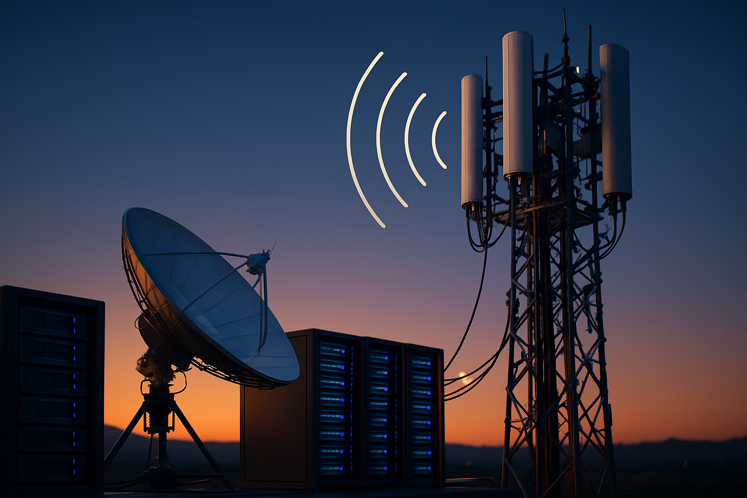
Satellite and Ground Techniques for Tracking Subsurface Water Loss
Combining satellite remote sensing with ground-based diagnostics improves the speed and accuracy of locating subsurface water loss in buried networks. This teaser outlines how satellites, acoustic and thermal tools, sensors, calibration, mapping, analytics, and reporting work together to support local services and utilities.

Detecting subsurface water loss requires coordinated use of remote sensing and in-field measurement. Wide-area satellite imagery narrows likely zones, while ground teams use acoustic sensors, thermal inspections, and pressure monitoring to pinpoint leaks and quantify loss. Proper calibration, clear mapping, and consistent reporting convert raw data into actionable diagnostics for local services and utilities, improving repair prioritization and ongoing monitoring capabilities.
How do satellites detect subsurface water?
Satellites identify surface signals that indicate underground moisture or altered soil conditions. Multispectral imagery can reveal vegetation stress caused by excess moisture, while synthetic aperture radar (SAR) detects subtle ground deformation from soil saturation. Time-series analysis highlights changes over weeks or months, allowing teams to focus monitoring and mapping efforts. Satellites are most valuable for prioritizing inspection areas over large landscapes; they work best when integrated with local sensors and reporting to confirm on-the-ground conditions.
How are acoustic methods applied to pipes?
Acoustic techniques capture the sound signature of pressurized water escaping pipes. Technicians use clamp-on sensors, in-pipe hydrophones, and correlators that analyze time differences between signals at multiple sensors to locate a leak along a pipe run. Signal processing separates leak-related frequencies from background noise, and diagnostics classify likely leak size and type. Acoustic methods are particularly effective in metallic or continuous pipe networks; when paired with mapping and calibrated sensors, they reduce excavation scope and improve repair accuracy.
How do sensors and pressure monitoring work?
Pressure transducers, flow meters, and distributed sensors provide continuous monitoring of system performance. Sudden pressure drops or unexpected flow changes trigger alerts that indicate potential loss. Networks can use low-power wireless nodes or wired telemetry to aggregate data into monitoring platforms. Regular calibration of these sensors is critical to avoid drift and false positives. When tied to analytics and reporting dashboards, pressure monitoring allows utilities and local services to detect events early, validate leak signatures, and schedule targeted field diagnostics.
How is thermal imaging used for mapping?
Thermal imaging detects temperature contrasts at the surface or on pipe exteriors that result from leaking water or wet soil. Handheld infrared cameras, drone-mounted thermal sensors, and aerial surveys can reveal cooler or warmer patches corresponding to moisture migration. Thermal mapping is useful in open areas or where subsurface flow affects surface temperatures; it complements acoustic and pressure-based approaches by providing visual evidence to guide excavation. Proper interpretation requires understanding ambient conditions and seasonal variations to avoid misclassification.
How do analytics and machine learning assist?
Analytics and machine learning combine diverse datasets—satellite imagery, sensor logs, acoustic recordings, and thermal maps—to improve detection accuracy and prioritize responses. Machine learning models trained on historical leak incidents can flag anomalous patterns, estimate leak magnitude, and suggest likely pipe segments. Automated diagnostics reduce manual review time while human oversight validates complex cases. Mapping analytics turn model outputs into spatial priorities, and integrated reporting structures help translate technical findings into maintenance tasks for teams in your area.
How are calibration, mapping, and reporting integrated?
Calibration ensures that sensors, acoustic equipment, and thermal tools produce reliable, comparable results across deployments. Routine field calibration and cross-checks against known references reduce measurement error and support confident diagnostics. Mapping platforms ingest calibrated data to produce layered visualizations showing suspected leak locations, confidence levels, and repair histories. Clear reporting formats and standardized metrics help local services allocate resources, track progress, and measure reductions in non-revenue water. Together, calibration, mapping, and reporting close the loop between detection and sustained asset management.
Subsurface water loss detection is most effective when satellite reconnaissance, acoustic and thermal tools, pressure and sensor monitoring, and advanced analytics are used together. Each technique contributes different evidence—satellites narrow search areas, ground sensors localize events, and calibrated diagnostics with machine learning improve prioritization and reporting. Integrated workflows enable utilities and local services to focus repairs, reduce unnecessary digging, and improve the long-term management of buried water infrastructure.


