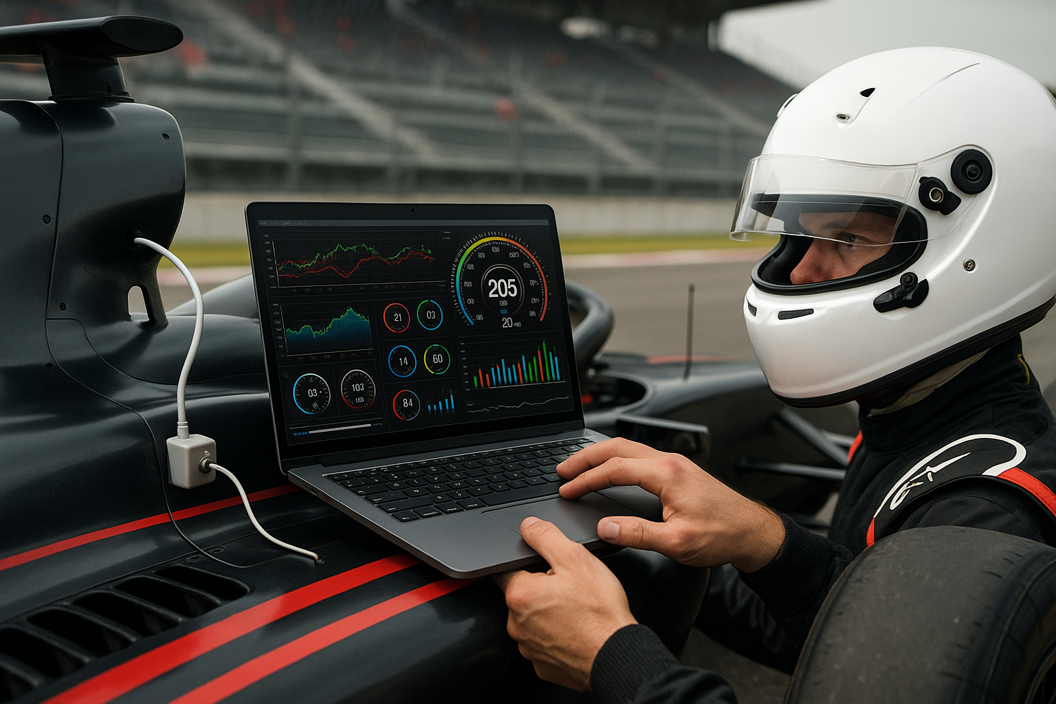
Using location analytics to improve driver behavior and safety
Location analytics transforms raw vehicle data into actionable insights that improve driver behavior, reduce accidents, and strengthen fleet safety programs. By combining GPS, telematics and sensor data with analytics, organizations can identify risky patterns, implement targeted coaching, and measure progress over time to support safer operations globally.

Location analytics is changing how fleets manage driver behavior and safety by turning positional data into practical interventions. Rather than relying solely on incident reports, modern systems use continuous streams of GPS and telematics data to detect speeding, hard braking, and risky route choices. This shift enables objective coaching, clearer accountability, and measurable safety improvements across diverse vehicle types and operating environments.
How do GPS and telematics improve driver behavior?
GPS and telematics provide the foundational data needed to assess driving patterns. GPS supplies position, speed and route traces while telematics units deliver engine state, throttle, and other vehicle metrics. Together they reveal where drivers frequently exceed limits, make abrupt maneuvers, or idle excessively. By visualizing heatmaps of risky locations and correlating events with time-of-day, managers can design targeted training, revise schedules to avoid hazards, and update route planning to reduce exposure to dangerous situations.
What role does real-time tracking and telemetry play?
Real-time tracking and telemetry enable immediate feedback and intervention. When a telematics event—such as harsh braking or sudden acceleration—is detected, in-cab alerts, manager notifications, or automated reminders can prompt the driver to correct behavior instantly. Over time, aggregating telemetry events helps quantify improvements and identify drivers who need additional coaching. Real-time insights also support emergency response and incident investigation by providing precise timestamps and telemetry traces for each event.
How can geofencing and location analytics enhance safety?
Geofencing allows fleets to define virtual zones around sensitive areas like schools, work sites, or low-speed neighborhoods. When vehicles enter or exit these geofenced zones, analytics can trigger speed reduction prompts, logging, or enforce route compliance. Combining geofencing with historical location analytics highlights recurrent high-risk zones, enabling proactive measures such as adjusting delivery windows, changing staging areas, or increasing supervision during peak hours.
How do sensors and connectivity support security and maintenance?
Modern vehicles combine GPS and telematics with sensors that monitor tire pressure, brake health, engine diagnostics, and cabin conditions. Continuous connectivity transmits these telemetry signals to centralized systems where analytics detect anomalies that may compromise safety. Early detection of maintenance issues—like a recurring diagnostic fault tied to a specific driver’s behavior—reduces breakdown risk and prevents incidents caused by mechanical failure. Secure connectivity and encryption are essential to ensure the integrity of that data and protect against tampering.
How does analytics inform maintenance and fleet management?
Location and driving pattern analytics help prioritize preventive maintenance by linking wear patterns to routes and behavior. For example, frequent harsh braking in urban routes correlates with greater brake wear; route-level analytics can prompt more frequent inspections for vehicles on those routes. Fleet managers can use aggregated telemetry to optimize maintenance schedules, allocate vehicles based on stress profiles, and forecast parts needs. These insights also support budgeting and help reduce downtime by addressing root causes instead of reacting to failures.
What best practices improve adoption and compliance?
Successful programs combine transparent metrics, driver coaching, and privacy-respecting policies. Share clear criteria for behavior scoring and involve drivers in reviewing their data to build trust. Use analytics to create fair, objective coaching plans rather than punitive measures. Ensure systems comply with local privacy and employment regulations, and secure consent where required. Regularly validate analytics models against real incidents to maintain reliability and reduce false positives that can undermine confidence.
Conclusion Location analytics, when paired with GPS, telematics, sensors and robust connectivity, offers a practical path to improving driver behavior and fleet safety. By converting positional and telemetry data into targeted coaching, predictive maintenance, and operational changes, organizations can reduce risk and better protect both drivers and assets. Ongoing measurement and transparent policies remain critical to realizing long-term safety gains without compromising privacy or trust.


